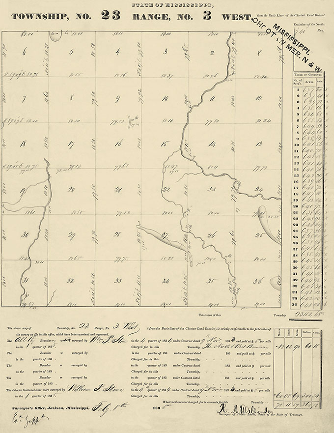
Deputy Surveyors were appointed to subdivide the new territories acquired from the Choctaw Indian tribe under the Treaty of Dancing Rabbit Creek, signed on 27 Sep 1830. During the period 1 Sep 1833 – 31 Mar 1837, William P. Stone surveyed all or parts of 29 townships in Mississippi for the General Land Office. The plats were in various counties across Mississippi: Calhoun, Clay, Clarke, Lauderdale, Leflore, Oktibbeha, Sunflower, Tallahatchie, and Webster.
The first contract with William P. Stone was signed on 9 Nov 1833 to survey Township 23 North of Range 3 West in the Choctaw Land District. He completed and signed this survey on 8 Feb 1835 (398).

